GIS laboratory opened in AUCA
February 25, 2022
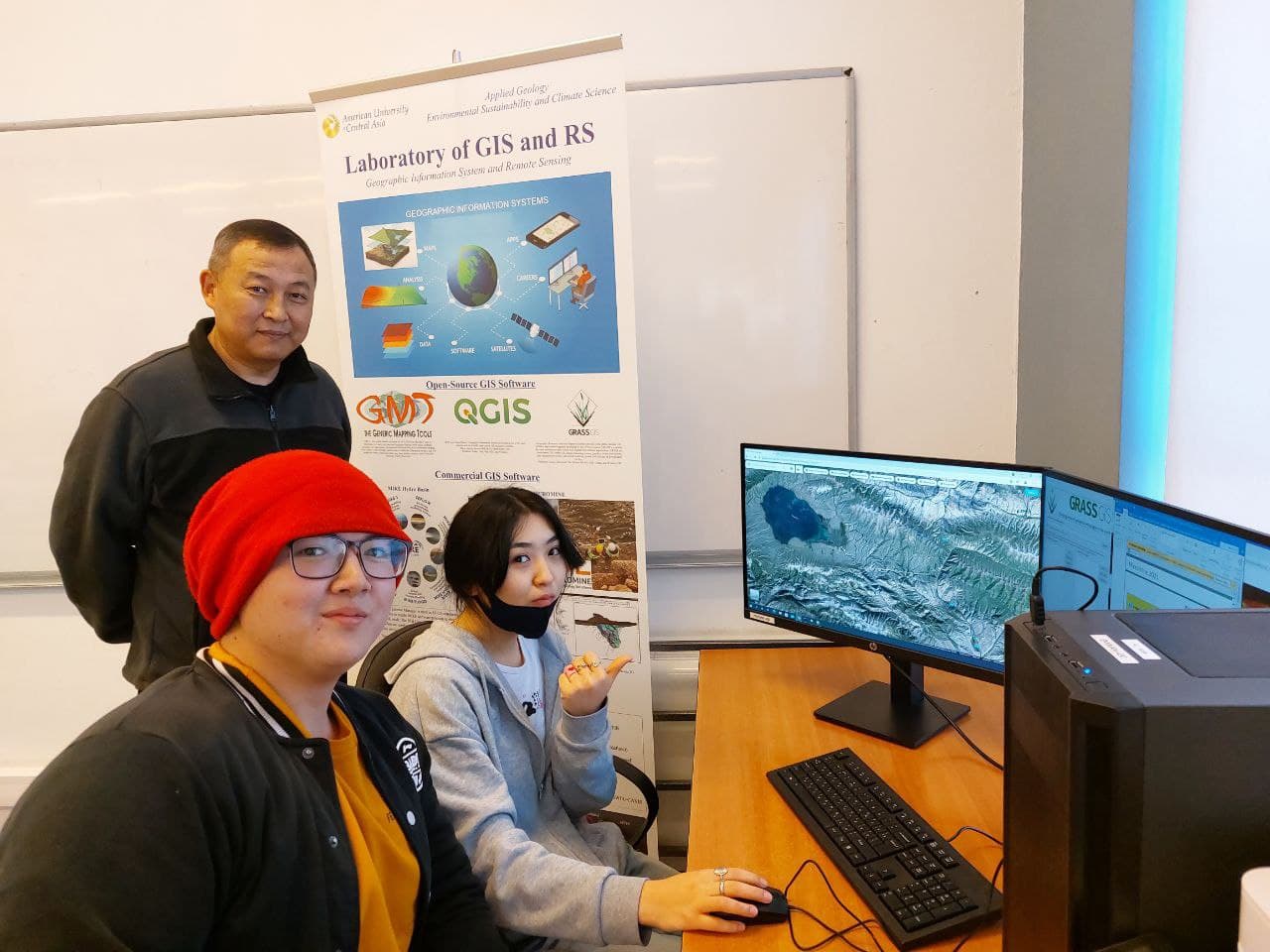
At the beginning of this year, the Department of Applied Geology and Environmental Sustainability and Climatology jointly opened a GIS and remote sensing laboratory. GIS is a geographic information system and remote sensing is Earth sensing data. The laboratory includes software that allows the design of spatial maps, as well as to conduct remote sensing of the earth based on images from space and make a variety of thematic maps in both geology and ecology. For example, a geological map of a certain area, lithological maps, or classify the earth's cover, analyze weather data in the field of studying climate change. Thematic maps allow us to make the right and more accurate decisions.
"The GIS laboratory will allow our students to learn how to use modern software such as QGIS, ArcGIS, GMT, Mike Hydro Basin, Micromine and others, create a variety of 3D, ecological and hydrological models, visualize the terrain, study minerals, and ecosystems. In the future, they will be able to apply modern methods of work in professional activities in mining companies or while studying at master's programs. We were able to purchase powerful modern computers for the laboratory thanks to a grant from the President of AUCA," said Jeenbek Kulenbekov, Head of the Applied Geology department.
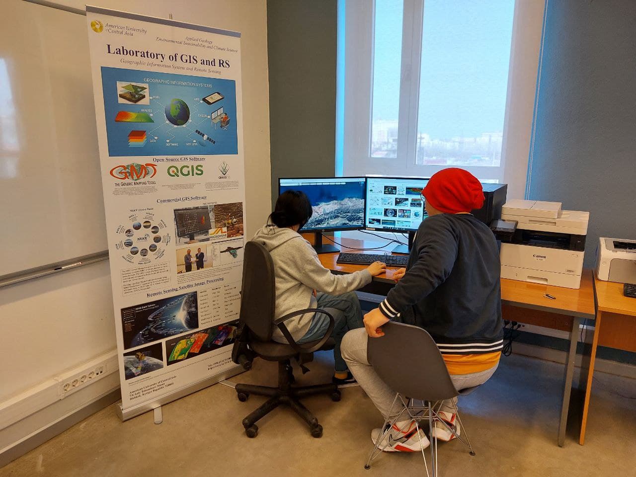
The sophomore students of the Faculty of Applied Geology Saikal Dzhetybaeva and Adilet Yrysaliev shared their impressions about working in the GIS laboratory.
"Geology includes a whole range of different professions, and we will be able to work not only in mining companies but also in research centers. The skills acquired in the laboratory will allow us to perform our work at a high professional level. Recently, one of our students conducted a master's class on the QGIS program. We designed the riverbeds of the ridges, carried out statistics of the water cycle. Thus, we not only created projects of objects but also analyzed and predicted their condition," Saikal said.
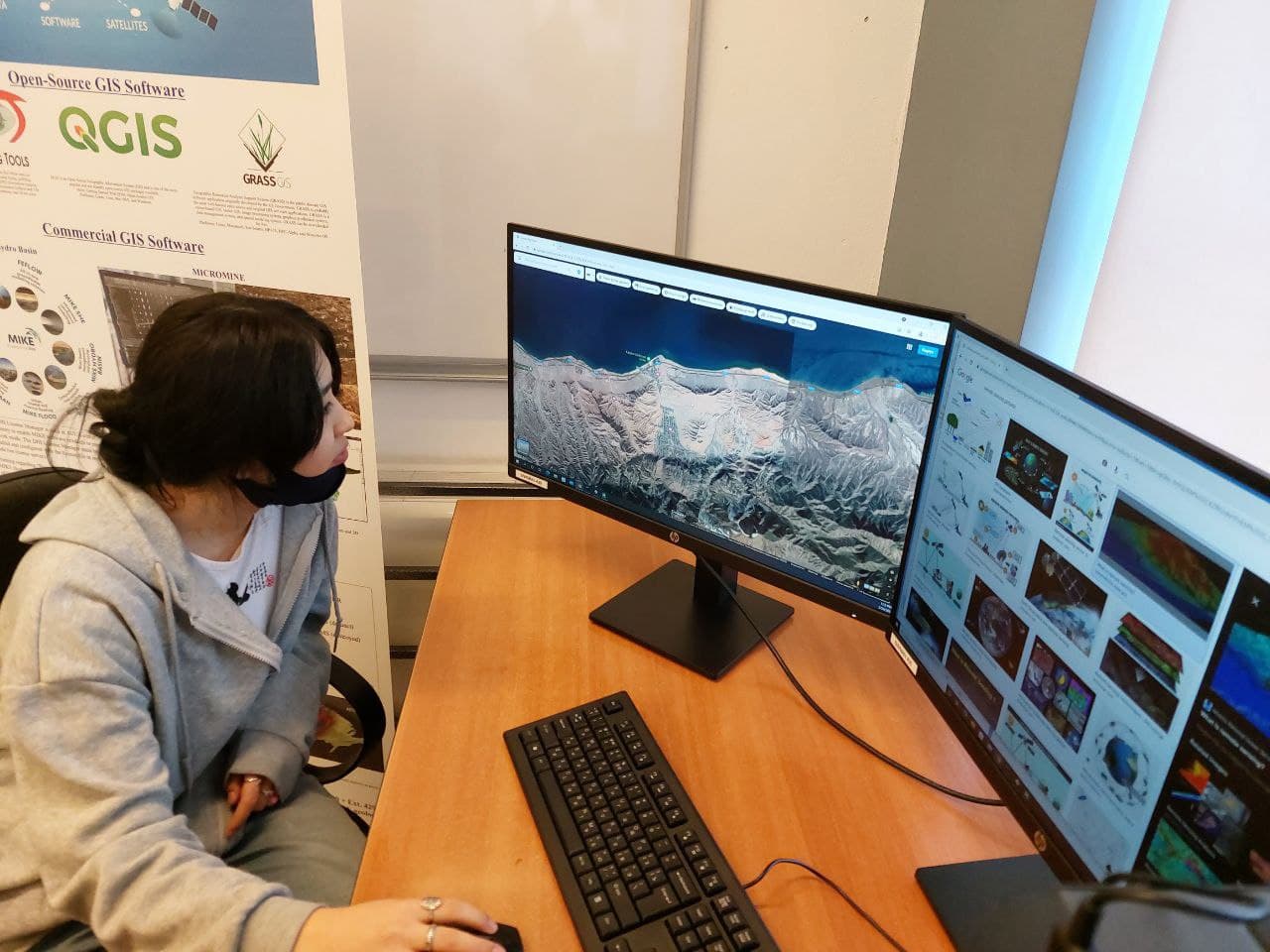
"Geology is a science that studies rocks, minerals, and the earth in general. This is not just a science, it includes many aspects and tools. In the laboratory, I got acquainted with Quantum GIS or Q-GIS. Q-GIS is an open spatial information system that facilitates us to explore the terrain and helps us visualize it in different formats. What struck me the most was that the app is easy to use, but at the same time it was very productive and informative," added Adilet.
